about
For the purpose of navigation, the earth is notionally divided into Eastern and Western Hemispheres. The line which divides those hemispheres, and from which all terrestrial measurements are taken, is the Prime Meridian, the Zero degrees meridian.
After leaving the North Pole the line travels south towards the South Pole. The first land it reaches is on the East coast of England, just above the Humber Estuary in Holderness, part of the East Riding of Yorkshire.
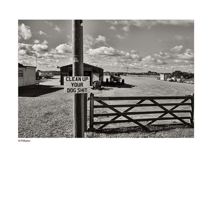
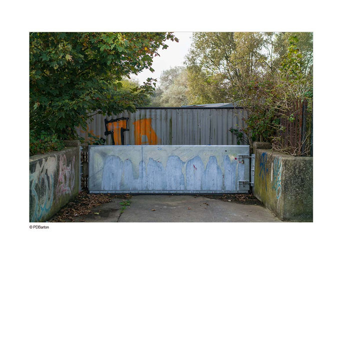
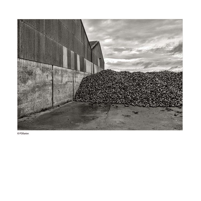
The Meridian project, entitled “A line runs through it “ involved travelling South along this line from landfall in Holderness, across the Humber to the seaside towns in North East Lincolnshire and onwards into Lincolnshire through the Lincolnshire Wolds and the Fenlands around Boston and Holbeach to the Lincolnshire/ Cambridgeshire border, a distance of a little over 75 miles.
The images were captured along and to either side of the line over a 6 month period. First, as it passes through the East Riding of Yorkshire, then down through Lincolnshire,
These pictures are bound together by their geographic proximity to this notional line as it passes through this part of England.
Note.
The measurements in this project refer to the true world prime meridian, as agreed by every world nation in 1984, the IERS Reference Meridian, also known as the International Reference Meridian or IRM. This is used for GPS terrestrial positioning.
The historic Greenwich Meridian lies west of the IRM. The difference between the 2 lines at Greenwich is 102.5m. You can read more about that here.
PDBarton
Lincoln, UK
2020
exhibition


